


Gopalan Mall Sirsi Circle, Bengaluru, Karnataka: Location, Direction & Connectivity
Gopalan Mall Sirsi Circle — the prominent retail and transit reference junction anchored by Gopalan…
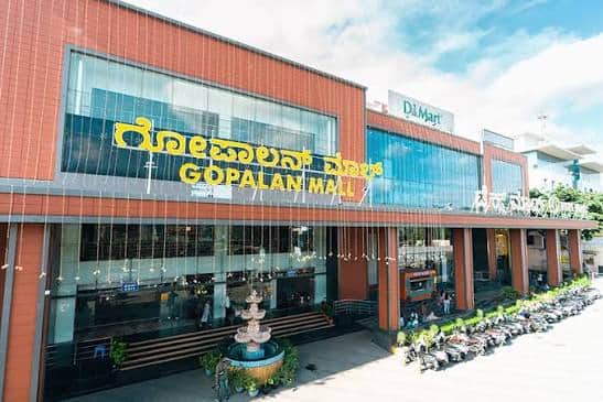
Gopalan Mall Sirsi Circle — the prominent retail and transit reference junction anchored by Gopalan Legacy Mall on Mysore Road…
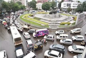
Dwarka Circle — one of Nashik's most important, most frequently visited, and most traffic-busy roundabout junctions — is the primary…
Gopalan Mall Sirsi Circle — the prominent retail and transit reference junction anchored by Gopalan Legacy Mall on Mysore Road…

Earphones are no longer a minor mobile accessory. They carry office meetings, gym playlists, online classes, gaming sessions and long…

Understanding how a Demat account works is one of the most important foundational steps for any new investor entering India's…